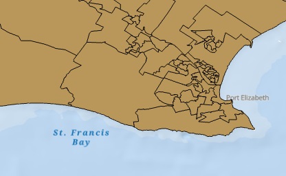
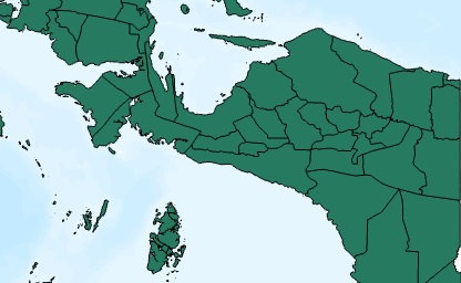
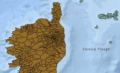
Individual Country Files
"As they would represent themselves."
Our most recent files for each individual country, standardized and ready to use.

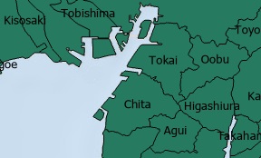
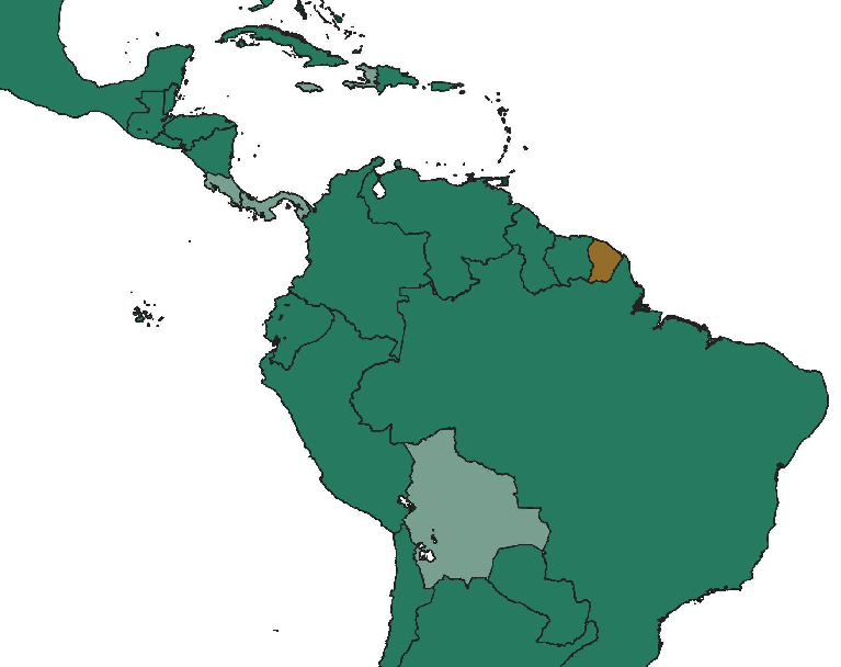
Global Composite Files
"Disputed areas included."
Seamless global layers with demarcations for disputed areas.

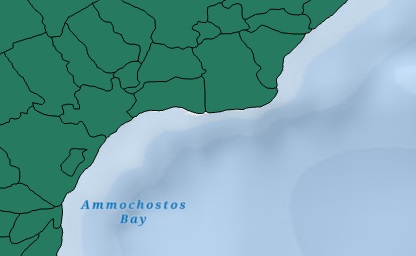
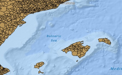
Simplified Boundaries
"When you just need a visual."
Simplified files with lower file sizes, for your cartographic needs.

So what's this all about?
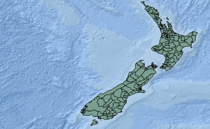
Built by the community and William & Mary geoLab, the geoBoundaries Global Database of Political Administrative Boundaries Database is an online, open license (CC BY 4.0) resource of information on administrative boundaries (i.e., state, county) for every country in the world. Since 2016, we have tracked approximately 1 million boundaries within over 200 entities, including all UN member states. All boundaries are available to view or download in common file formats; the only requirement for use is acknowledgement.
How to Use geoBoundaries
geoBoundaries datasets are provided under the CC BY 4.0 license, which allows for most commmercial, noncommercial, and academic uses. Our license requires an acknowledgement in any products you produce which use this data. The geoBoundaries team is primarily judged on it's citations: it is how our users, funders and peers track our progress and impact. Recommendations for how to cite us are provided here:
Short Form: Runfola, D. et al. (2020) geoBoundaries: A global database of political administrative boundaries. PLoS ONE 15(4): e0231866. https://doi.org/10.1371/journal.pone.0231866
Long Form: Runfola, Daniel, Community Contributors, and [v4.0: Lindsey Rogers, Joshua Habib, Sidonie Horn, Sean Murphy, Dorian Miller, Hadley Day, Lydia Troup, Dominic Fornatora, Natalie Spage, Kristina Pupkiewicz, Michael Roth, Carolina Rivera, Charlie Altman, Isabel Schruer, Tara McLaughlin, Russ Biddle, Renee Ritchey, Emily Topness, James Turner, Sam Updike, Helena Buckman, Neel Simpson, Jason Lin], [v2.0: Austin Anderson, Heather Baier, Matt Crittenden, Elizabeth Dowker, Sydney Fuhrig, Seth Goodman, Grace Grimsley, Rachel Layko, Graham Melville, Maddy Mulder, Rachel Oberman, Joshua Panganiban, Andrew Peck, Leigh Seitz, Sylvia Shea, Hannah Slevin, Rebecca Yougerman, Lauren Hobbs]. "geoBoundaries: A global database of political administrative boundaries." Plos one 15, no. 4 (2020): e0231866.